
Browse by category
- Adaptive reuse
- Archaeology
- Arts and creativity
- Black heritage
- Buildings and architecture
- Communication
- Community
- Cultural landscapes
- Cultural objects
- Design
- Economics of heritage
- Environment
- Expanding the narrative
- Food
- Francophone heritage
- Indigenous heritage
- Intangible heritage
- Medical heritage
- Military heritage
- MyOntario
- Natural heritage
- Sport heritage
- Tools for conservation
- Women's heritage
Breaking ground virtually: Looking through the Henson Family cemetery
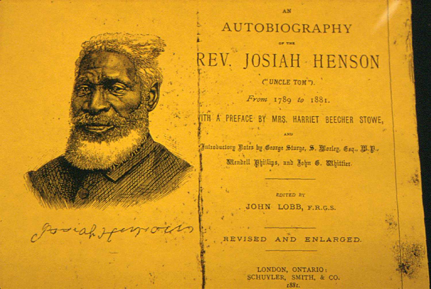
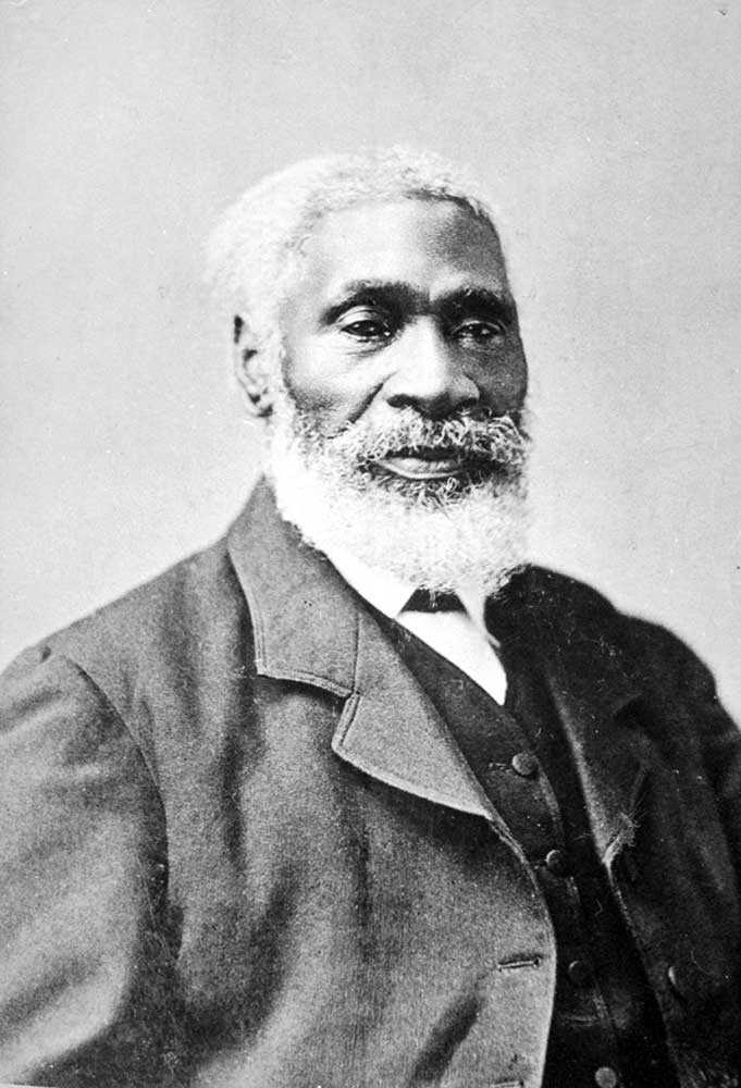
Many have forgotten how influential Harriet Beecher Stowe’s novel Uncle Tom’s Cabin was at the time of its 1852 publication. It was a catalyst for positive, radical change, encouraging society’s rejection of slavery in the United States and around the world. Shortly after the release of her book, Stowe acknowledged that Josiah Henson’s autobiography – published a few years earlier in 1849 – was the inspiration for her novel.
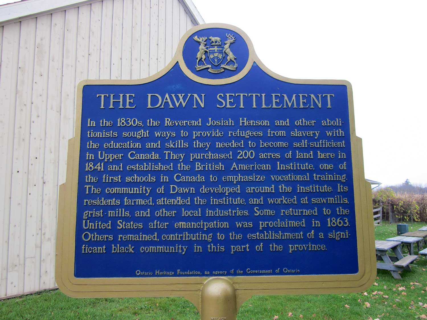
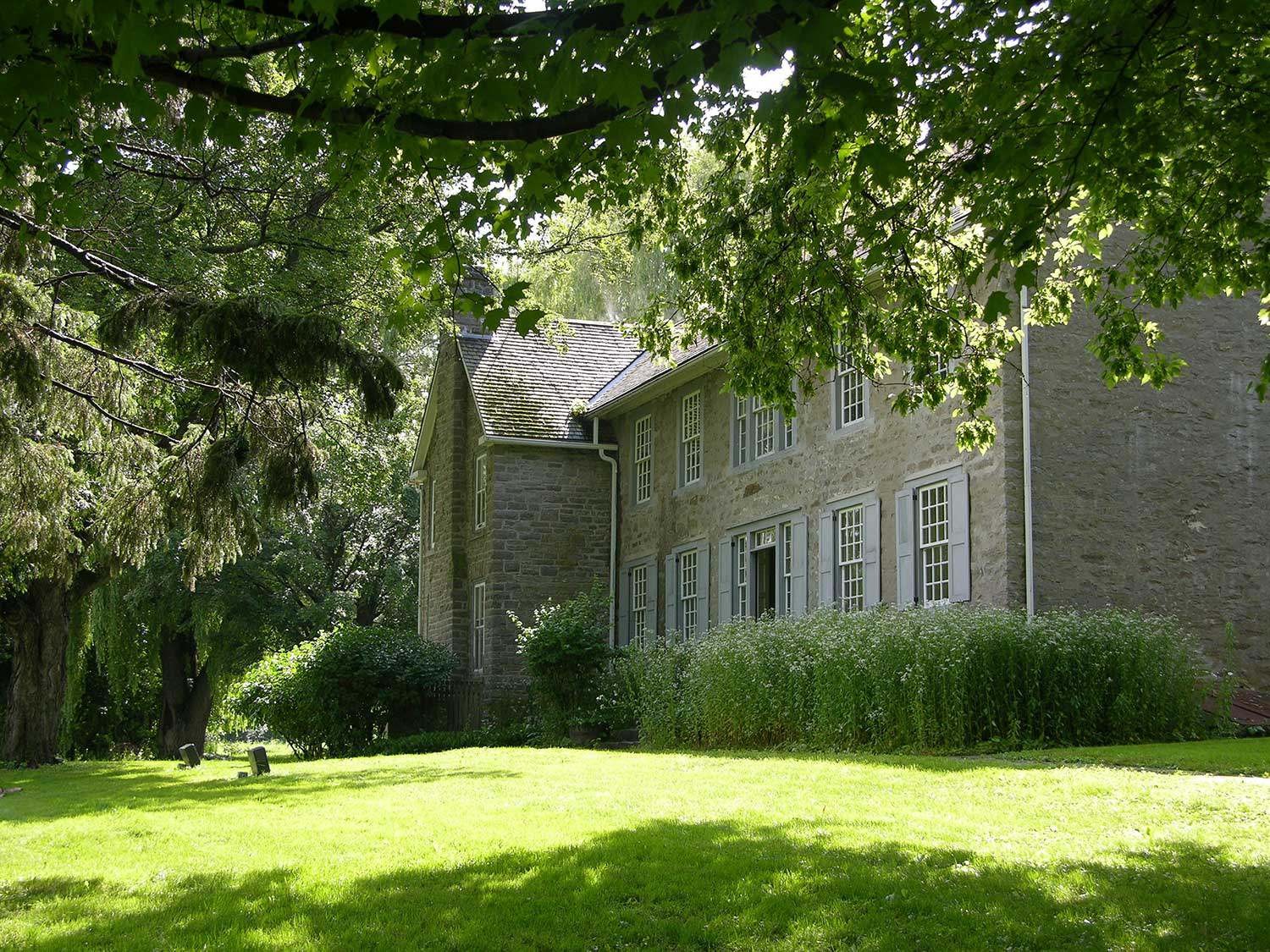
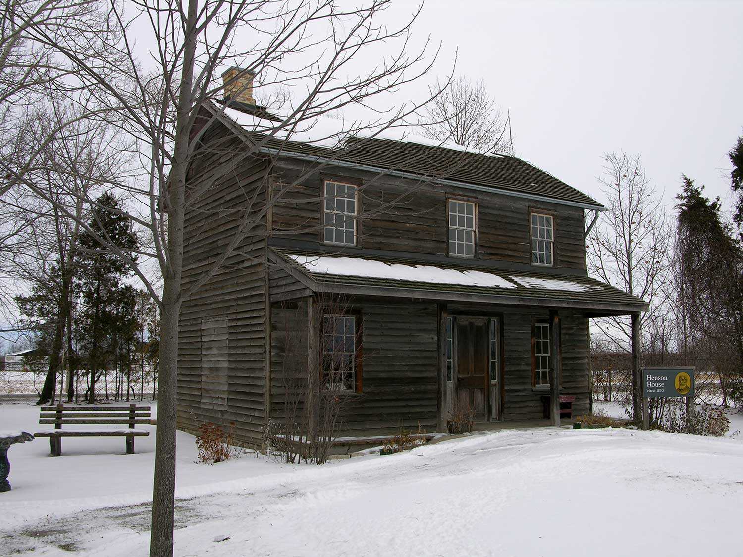
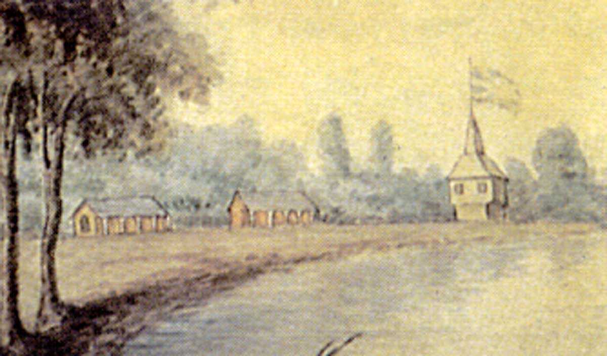
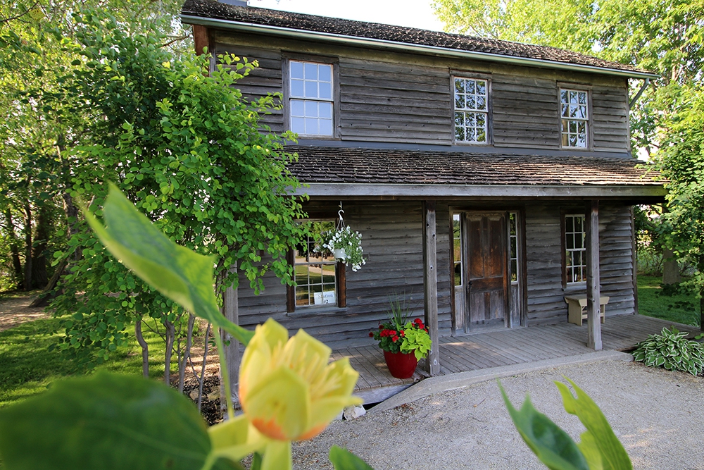
Josiah Henson was a renowned abolitionist, preacher, conductor on the Underground Railroad and one of the founders of the Dawn Settlement in Dresden, Ontario. Uncle Tom’s Cabin Historic Site, located at the heart of the Dawn Settlement, is owned and operated by the Ontario Heritage Trust. Adjacent to the property are two historic cemeteries related to the British American Institute and the Henson family. Within the Henson Family cemetery is the final resting place of Josiah Henson. It remains to this day an active cemetery for Henson’s descendants. But because records have been lost over the years, identifying the location of every burial on the site has proven to be problematic. Although many headstones are visible at the two cemeteries, their positions do not always precisely mark the location of the underlying graves.
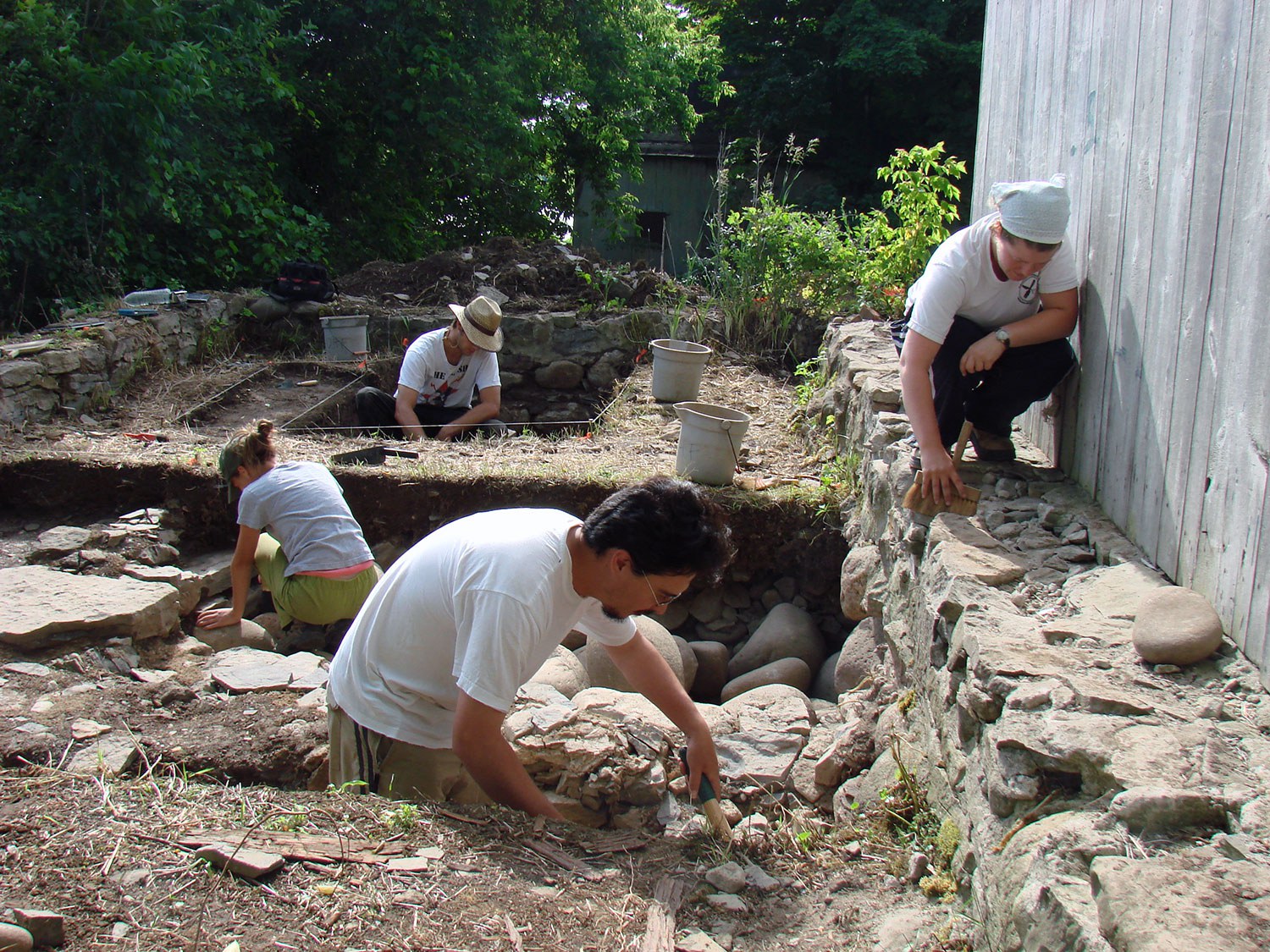
In partnership with Sustainable Archaeology at the University of Western Ontario, the Trust undertook an investigation of how many burials may exist below ground at the two cemeteries. Beginning in 2008, the first attempt involved utilizing a gradiometer under the direction of Edward Eastaugh, archeology supervisor and leader of Western’s survey team. A gradiometer survey in archaeology is based on the measurement of tiny anomalies in the earth’s magnetic field that are generated by human activity.
The results of the two gradiometer surveys at Uncle Tom’s Cabin Historic Site, while encouraging, remain inconclusive. Although numerous small anomalies were identified at both cemeteries, it is unclear whether these are the result of historical graves, a scattering of building material or a combination of the two. Interpretation of the results is also impeded due to the large number of iron objects in Using ground penetrating radar at the Henson Family Cemetery in 2011. Breaking ground virtually: Looking through the Henson Family cemetery By Dena Doroszenko the area, including recent interments; many areas of the survey were washed out by extremely high anomalies.
Given the mixed results from the first survey, the team returned to the Henson Family Cemetery on August 2, 2011 to conduct a survey using ground-penetrating radar (GPR). This technique involves the transmission of high frequency radar pulses from a surface antenna into the ground. The elapsed time between when this energy is transmitted, reflected from buried materials or soil changes in the ground, and then received back at the surface is then measured. When many thousands of radar reflections are measured and recorded, a three-dimensional picture of soil and feature changes can be created. This respectful approach minimizes surface disturbance – critical when mapping a historical cemetery.
Preliminary results from the 2011 GPR survey indicate that the Henson Family Cemetery contains a larger number of burials than was expected. Twenty-four headstones are visible at the cemetery. The images above show the results of the survey in one 10-metre by 10-metre grid section; these results were found to be typical across the cemetery. Burials marked by headstones were visible near the surface. Deeper in the ground, additional unmarked burial shafts were present. While only four were marked, it appears that at least 12 or more burials are evident.
Survey results will be made available to Uncle Tom’s Cabin Historic Site, the Henson family, Essex-Kent County and will be presented at the Society for Historical Archaeology conference in January 2012 in Baltimore, Maryland – not far from Henson’s birthplace. The team is hoping to return to Dresden in 2012 to complete a GPR survey of the British American Institute cemetery to advance our knowledge of the Dawn Settlement and the legacy of Josiah Henson.



![F 2076-16-3-2/Unidentified woman and her son, [ca. 1900], Alvin D. McCurdy fonds, Archives of Ontario, I0027790.](https://questions-de-patrimoine.ca/uploads/Articles/27790_boy_and_woman_520-web.jpg)


